

Our Team
owner

prashant Gaurav
proprietor
GEOTECH SURVEY INSTRUMENT
Land & Engineering Survey Specialists
Precision. Reliability. Results.
Welcome to Geotech Survey Instrument a trusted name in land and engineering surveys for infrastructure, utility, construction, and renewable energy projects across India.
We combine cutting-edge technology with field expertise to deliver fast, accurate, and reliable survey data — from greenfield topographic mapping to complex corridor alignments.
Our Services
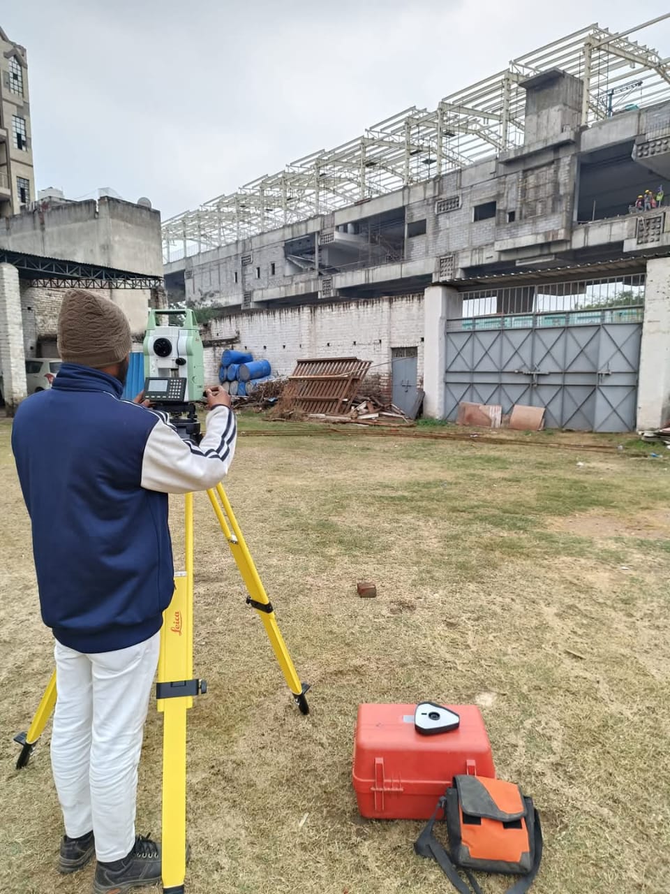
Topographic & Contour Surveys
Detailed mapping for land development, roads, and infrastructure planning.
Land & Boundary Surveys
Precise boundary marking and legal land demarcation.
Road & Highway Surveys
Corridor alignment, L-sections, and cross-sections for DPR and execution.
Transmission Line & Pipeline Route Surveys
Route alignment, profiling, and tower/tunnel spotting for power and utilities.
Solar & Renewable Energy Surveys
Rooftop, ground-mounted, and floating solar feasibility studies with shadow analysis.
Drone & Aerial Mapping (UAV)
High-resolution orthophotos, 3D terrain models, and contour generation.
Building Layout & Stakeout
From foundation to floor layout marking — accurate on-site translation of CAD drawings.
GIS Mapping & Data Processing
Deliverables in CAD, GIS, KMZ, and terrain formats for design integration.
Why Choose Us?
✅ Experienced Team
Led by licensed surveyors and civil engineers with 10+ years of field experience.
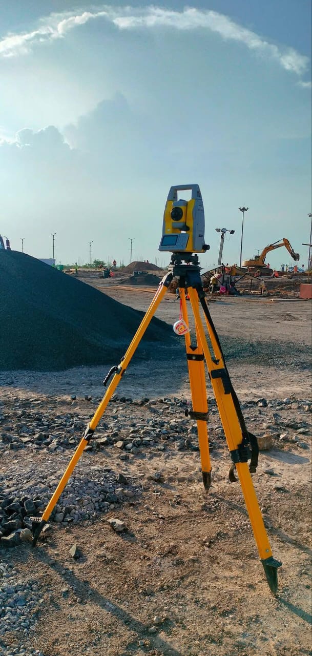
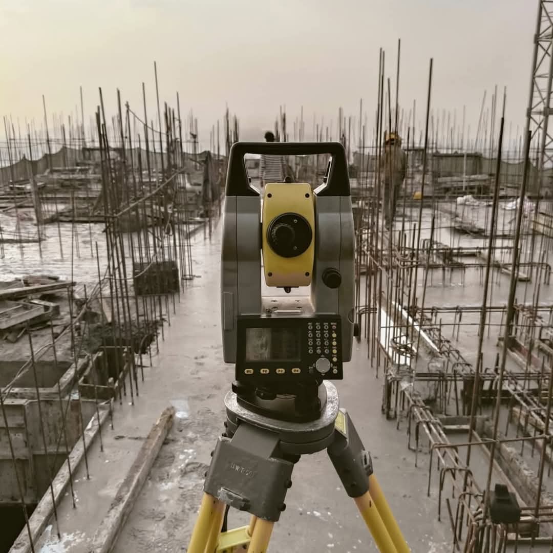
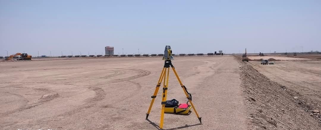
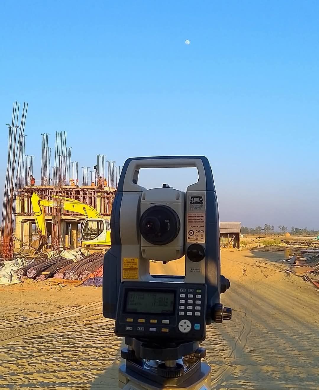
✅ Advanced Instruments
DGPS, Total Station, UAV Drones, Auto Levels, and high-end CAD/GIS software.
✅ Pan-India Reach
Projects delivered across Maharashtra, Rajasthan, Odisha, Tamil Nadu, Assam & more.
✅ Turnkey Execution
From site marking to digital drawings, reports, and georeferenced outputs.
✅ Quick Turnaround & Transparent Pricing
On-time delivery with competitive, no-surprise quotations.
Industries We Serve
-
Transmission & Distribution (T&D)
-
Roads & Highways (NHAI, PMGSY)
-
Water Supply & Sewerage Projects
-
Solar & Renewable Energy
-
Smart City & Urban Development
-
Private Land Development & Real Estate
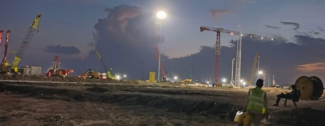
Recent Projects
-
132 kV Transmission Line Survey – MP, 72 km
-
Solar Plant Topographic Survey – Gujarat, 50 acres, Chhatisgarh
-
Road Alignment & Cross Sections – PMGSY, Assam
-
Contour & Drainage Mapping for Township – Maharashtra
Ready to Get Started?
Let’s bring precision to your project — from the first peg to the final plot.
Email: info@geotechsurveyinstrument.in
Call/WhatsApp: +91-9570960270
Location: Hno.34 , Gata No 171 , Adhar khera , kursi Road Lucknow ,Near tender heart school , opposite Hotel Rudra Inn , Lucknow 2226026
.jpeg)
.jpeg)
.jpeg)

.jpeg)
.jpeg)
.jpeg)
.jpeg)
.jpeg)